
Etfarm LPIS

Etfarm ZIS

Etfarm FIELD

EPIGIS
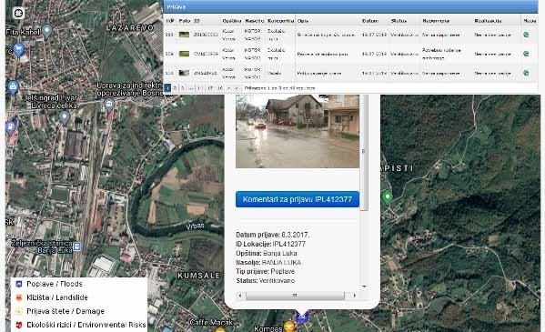
Participatory GIS

Fire GIS
Etfarm LPIS
Integration of cadastral, satellite and data on applications for incentives
Etfarm ZIS
Intended for the management of state land, concessions, leases
Etfarm FIELD
Intended for agricultural manufacturers and consultants