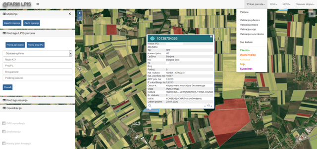
Integrates cadastral, satellite and incentive application data.
Intended for the management of state land, concessions, leases
Intended for farmers and advisors
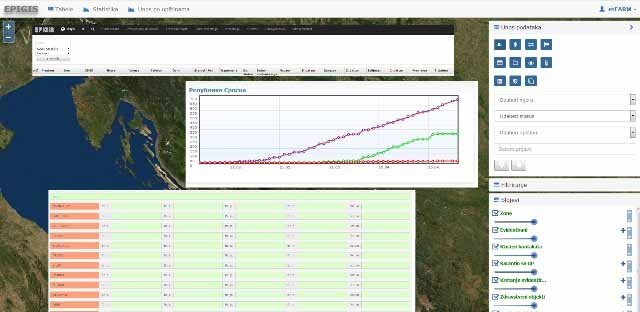
Epidemiological risk management
Cooperation of users (population, business entities) with competent services
Real-time fire risk forecast